Mountain Status
At A Glance
68°F
0/77
0"
0"
0"
0"
All uphill routes are closed until the 26/27 season. Thank you for a great year!
Current Status
SNOWFALL
0"
0"
0"
67"
CONDITIONS
0"
0/3
0/77
LOW_SNOWFALL
LOW_SNOWFALL
LIFTS
- Primo ChairCLOSED
- Segundo ChairCLOSED
- Tercero ChairCLOSED
Live
Webcams
You can view the 24-hour snow totals on the right side, where the snow stake is cleared daily at 4pm. Storm totals are displayed on the left side.
We open the lifts early at 8:30am for all of our Powder Pass holders when the right hand side of the snow stake accumulates 4 or more inches overnight (4pm – 6am).
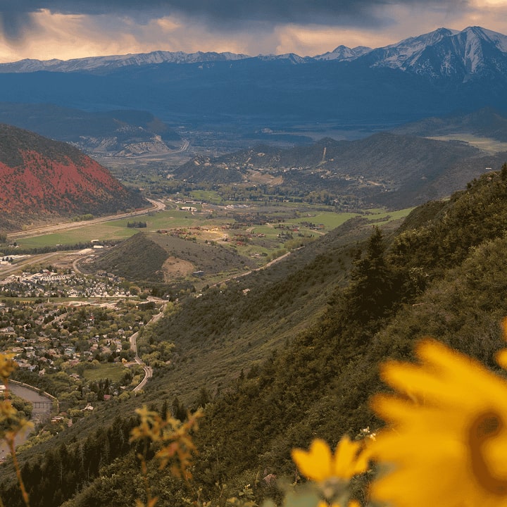
Live ValleyOrtho
Snow Cam


PHQ Cam

Leonard's Lookout
Leonard's Lookout
5-Day Forecast
| Day | Snow | Precip | Condition | Temperature | Wind | Wind Gust |
|---|---|---|---|---|---|---|
| Sat 13 | 0-0" | 0% |
|
Min 50° F / Max 68° F | W11 mph | 20 mph |
| 0-0" | 0% |
|
Min 52° F / Max 67° F | W9 mph | 14 mph | |
| Sun 14 | 0-0" | 9% |
|
Min 51° F / Max 64° F | W12 mph | 22 mph |
| 0-0" | 13% |
|
Min 49° F / Max 59° F | W9 mph | 16 mph | |
| Mon 15 | 0-0" | 4% |
|
Min 48° F / Max 64° F | WNW11 mph | 20 mph |
| 0-0" | 0% |
|
Min 51° F / Max 63° F | NW6 mph | 11 mph | |
| Tue 16 | 0-0" | 0% |
|
Min 50° F / Max 68° F | WNW10 mph | 18 mph |
| 0-0" | 0% |
|
Min 54° F / Max 68° F | W12 mph | 20 mph | |
| Wed 17 | 0-0" | 0% |
|
Min 54° F / Max 72° F | W15 mph | 27 mph |
| 0-0" | 0% |
|
Min 54° F / Max 72° F | WNW11 mph | 19 mph | |
Trail Status
Looking for trail conditions? Choose a trail type below to see the latest status.
-
Buckmaster (NOT_GROOMED)CLOSED
-
Grizzly (NOT_GROOMED)CLOSED
-
Grizzly Road (NOT_GROOMED)CLOSED
-
Ivy's Run (NOT_GROOMED)CLOSED
-
Loop (NOT_GROOMED)CLOSED
-
Midway (NOT_GROOMED)CLOSED
-
Segundo Road (NOT_GROOMED)CLOSED
-
Tercero (NOT_GROOMED)CLOSED
-
The Parks (NOT_GROOMED)CLOSED
-
Upper Columbine (NOT_GROOMED)CLOSED
-
Ute (NOT_GROOMED)CLOSED
-
Beaujolais (NOT_GROOMED)CLOSED
-
Blue Catwalk (NOT_GROOMED)CLOSED
-
Blue Tango (NOT_GROOMED)CLOSED
-
Columbine (NOT_GROOMED)CLOSED
-
Cornice (NOT_GROOMED)CLOSED
-
Crystal (NOT_GROOMED)CLOSED
-
Dawson (NOT_GROOMED)CLOSED
-
Dotsero (NOT_GROOMED)CLOSED
-
Enchanted Forest (NOT_GROOMED)CLOSED
-
Ferret's Hollow (NOT_GROOMED)CLOSED
-
Flip Rock (NOT_GROOMED)CLOSED
-
Grizzly Face (NOT_GROOMED)CLOSED
-
Joslin (NOT_GROOMED)CLOSED
-
Little Max (NOT_GROOMED)CLOSED
-
Peace Pipe (NOT_GROOMED)CLOSED
-
Rebel (NOT_GROOMED)CLOSED
-
Sun King (NOT_GROOMED)CLOSED
-
Sunburst (NOT_GROOMED)CLOSED
-
Sundance (NOT_GROOMED)CLOSED
-
Sundown (NOT_GROOMED)CLOSED
-
Ute Cutoff (NOT_GROOMED)CLOSED
-
White River (NOT_GROOMED)CLOSED
-
Blue Finger (UNDEF)CLOSED
-
Defiance (Upper) (NOT_GROOMED)CLOSED
-
E. Wishbone (UNDEF)CLOSED
-
Frying Pan Alley (UNDEF)CLOSED
-
Holiday Hill (UNDEF)CLOSED
-
Inspiration (NOT_GROOMED)CLOSED
-
Midland Express (NOT_GROOMED)CLOSED
-
Primo (NOT_GROOMED)CLOSED
-
Segundo (UNDEF)CLOSED
-
Sherman Forest (UNDEF)CLOSED
-
Showdown (NOT_GROOMED)CLOSED
-
W. Wishbone (UNDEF)CLOSED
-
Zephyr (UNDEF)CLOSED
-
A1 (UNDEF)CLOSED
-
A2 (UNDEF)CLOSED
-
A3 (UNDEF)CLOSED
-
Banzai (UNDEF)CLOSED
-
Cassanova Glades (UNDEF)CLOSED
-
Cedar Glade (UNDEF)CLOSED
-
Charlie's Glades (UNDEF)CLOSED
-
Deception (UNDEF)CLOSED
-
Defiance (NOT_GROOMED)CLOSED
-
Devil's Dare (UNDEF)CLOSED
-
Gibson Glades (UNDEF)CLOSED
-
Gilberto Glades (UNDEF)CLOSED
-
Gnarly Knob (UNDEF)CLOSED
-
Joslin Glades (UNDEF)CLOSED
-
Lower Que Pasa (NOT_GROOMED)CLOSED
-
Perry's Plunge (UNDEF)CLOSED
-
Que Pasa (NOT_GROOMED)CLOSED
-
Rapid Transit (UNDEF)CLOSED
-
Sundown Glades (UNDEF)CLOSED
-
Teed's Run (UNDEF)CLOSED
-
The Heathen (UNDEF)CLOSED
-
Tod's Ride (UNDEF)CLOSED
-
Tom J Glades (UNDEF)CLOSED
-
Zephyr Glades (UNDEF)CLOSED
-
Cedar Glades (Hike-Out Only) (UNDEF)CLOSED
-
Lower Deception (UNDEF)CLOSED
-
Lower Defiance (NOT_GROOMED)CLOSED
-
Vortex (Hike-Out Only) (NOT_GROOMED)CLOSED
-
Sherick Park (GROOMED)CLOSED
-
Green Route (NOT_GROOMED)CLOSED
-
Orange Route (NOT_GROOMED)CLOSED
Experience Sunlight Mountain Ski Area Year-Round
Whether you’re planning your next powder day or simply checking the latest conditions, the Sunlight Mountain ski area offers a true Colorado mountain experience without the crowds or high prices of larger resorts. With 77 trails, over 700 acres of terrain, and friendly local vibes, Sunlight is perfect for families, beginners, and expert riders alike.
Keep an eye on this page for real-time snow totals, lift operations, and weather updates, everything you need to plan your perfect day on the mountain.
Want to make the most of your trip? Explore our Colorado lift tickets for the best deals, check out ski and snowboard rentals, or discover Colorado ski packages that combine lodging, hot springs, and skiing for an unforgettable getaway.
Sunlight Mountain Stats
GENERAL MOUNTAIN STATISTICS
GENERAL MOUNTAIN STATISTICS
GENERAL MOUNTAIN STATISTICS
GENERAL MOUNTAIN STATISTICS
Explore Sunlight


NEWSLETTER
SIGNUP
- Mountain News
- Upcoming Events
- Sunlight Ski and Bike Shop Promotions
- And much more…